SUMMARY
This is AI generated summarization, which may have errors. For context, always refer to the full article.
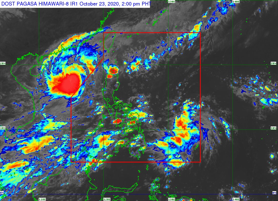
A low pressure area (LPA) east of Mindanao developed into a tropical depression at 2 pm on Friday, October 23.
It was given the local name Quinta, as the Philippines’ 17th tropical cyclone for 2020.
Quinta is also the 4th tropical cyclone for October alone. It comes just a day after Pepito (Saudel), now a typhoon, left the Philippine Area of Responsibility (PAR).
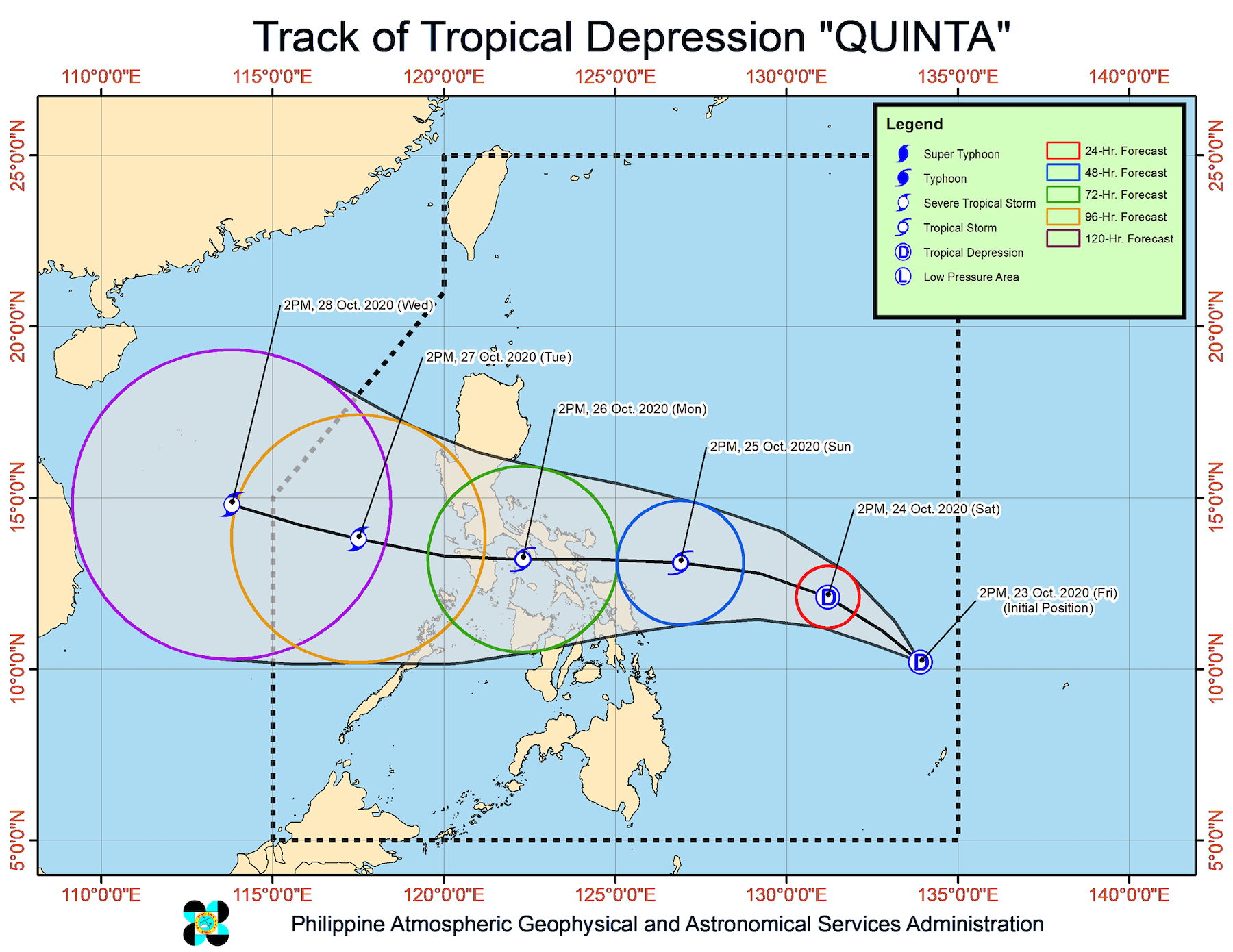
In a bulletin issued 5 pm on Friday, the Philippine Atmospheric, Geophysical, and Astronomical Services Administration (PAGASA) said Quinta is located 880 kilometers east of Surigao City, Surigao del Norte, slowly moving west.
The tropical depression is inching toward the region of Bicol, where it could make landfall by Monday, October 26, according to PAGASA. After crossing Bicol, it may move over the inland seas of Southern Luzon, and then emerge over the West Philippine Sea by Tuesday, October 27.
At the moment, Quinta has maximum winds of 45 kilometers per hour (km/h) and gustiness of up to 55 km/h. But PAGASA said it could intensify into a tropical storm on Sunday, October 25.
Since Quinta is still far from land, it is not affecting the weather in any part of the country yet. There are currently no rainfall warnings and no tropical cyclone wind signals in effect. (READ: FAST FACTS: Tropical cyclones, rainfall advisories)
But PAGASA said the northeasterly surface windflow may bring occasional gusts to Northern Luzon, especially in coastal and mountainous areas.
A gale warning was also issued for the northern and western seaboards of Luzon. Travel is risky due to rough to very rough seas, with waves 2.8 to 5.5 meters high.
In the eastern seaboards of Luzon, there are moderate to rough seas, with waves 1.2 to 2.8 meters high. PAGASA advised small vessels to take precautionary measures.
Based on its latest forecast track, Quinta might leave PAR on Wednesday, October 28.
An average of 20 tropical cyclones form within or enter PAR each year. (READ: LIST: PAGASA’s names for tropical cyclones in 2020)
These are PAGASA’s latest estimates for the number of tropical cyclones inside PAR in the next 6 months:
- November 2020 – 1 to 3
- December 2020 – 2 or 3
- January 2021 – 0 or 1
- February 2021 – 0 or 1
- March 2021 – 0 or 1
- April 2021 – 0 or 1
Last October 2, the state weather bureau warned Filipinos to expect more rain in the coming months due to the onset of La Niña. – Rappler.com
Add a comment
How does this make you feel?


There are no comments yet. Add your comment to start the conversation.