SUMMARY
This is AI generated summarization, which may have errors. For context, always refer to the full article.
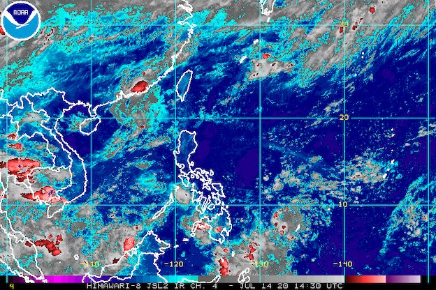
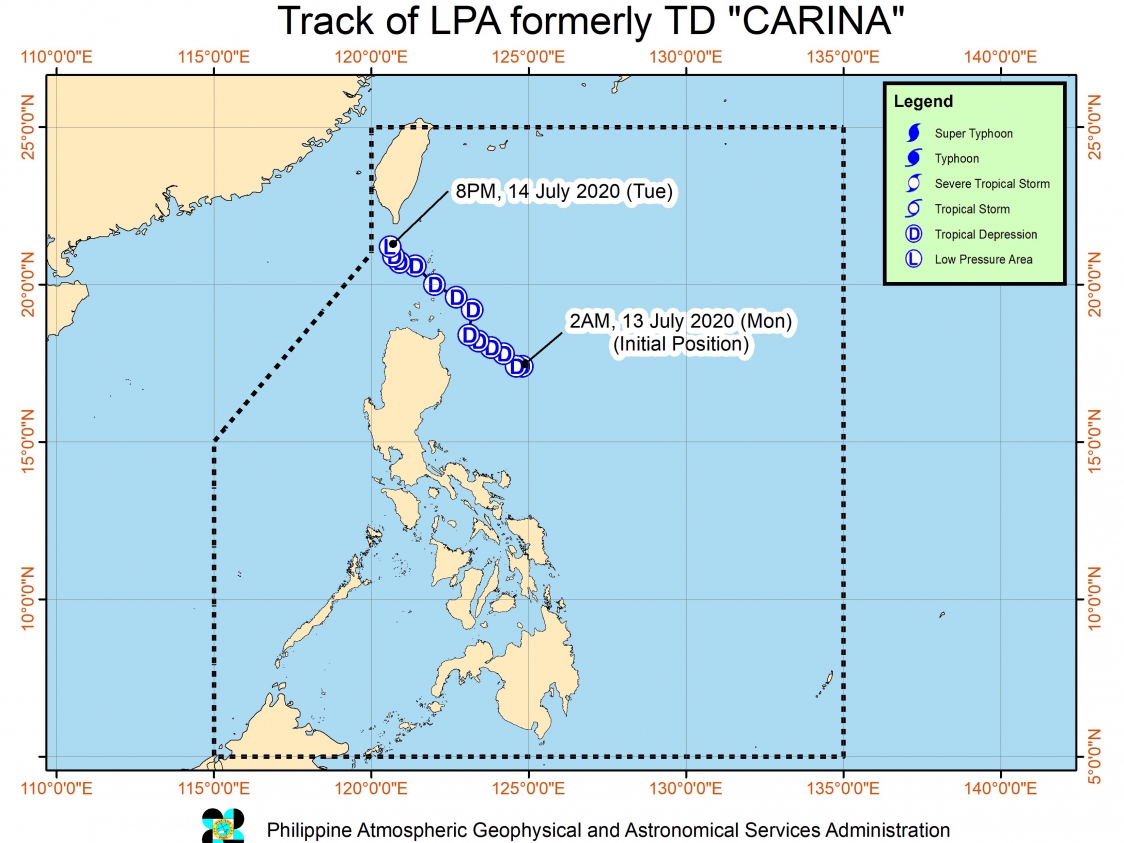
Tropical Depression Carina weakened into a low pressure area (LPA) on Tuesday evening, July 14, while still inside the Philippine Area of Responsibility.
In a bulletin issued 11 pm on Tuesday, the Philippine Atmospheric, Geophysical, and Astronomical Services Administration (PAGASA) said the LPA which used to be Carina is now 170 kilometers northwest of Basco, Batanes.
Though the tropical depression has weakened, moderate to rough seas are still expected in the seaboards of the following areas in the next 24 hours:
- Batanes
- Ilocos Norte
- Cagayan including Babuyan Islands
- Isabela
Those with small vessels should be on alert, said PAGASA.
Carina was the Philippines’ 3rd tropical cyclone for 2020, after Typhoon Ambo (Vongfong) in May and Tropical Storm Butchoy (Nuri) in June.
It briefly brought light to heavy rain to parts of Luzon, but it did not make landfall. (READ: FAST FACTS: Tropical cyclones, rainfall advisories)
An average of 20 tropical cyclones form within or enter the Philippine Area of Responsibility (PAR) each year. Only around half of these make landfall. (READ: LIST: PAGASA’s names for tropical cyclones in 2020)
In PAGASA’s climate outlook, it gave the following estimates for the number of tropical cyclones inside PAR in the next 6 months:
- July – 2 to 4
- August – 2 or 3
- September – 2 or 3
- October – 2 or 3
- November – 1 or 2
- December – 1 or 2
PAGASA declared the start of the rainy season on June 12. – Rappler.com
Add a comment
How does this make you feel?
There are no comments yet. Add your comment to start the conversation.