SUMMARY
This is AI generated summarization, which may have errors. For context, always refer to the full article.
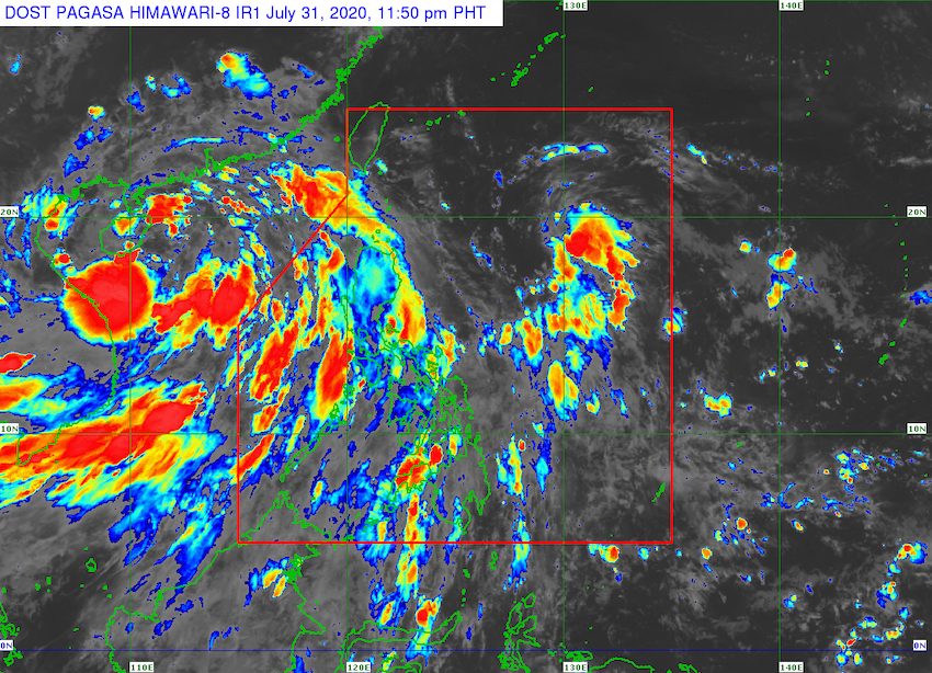
A low pressure area (LPA) inside the Philippine Area of Responsibility (PAR) developed into a tropical depression at 8 pm on Friday, July 31. It was given the local name Dindo.
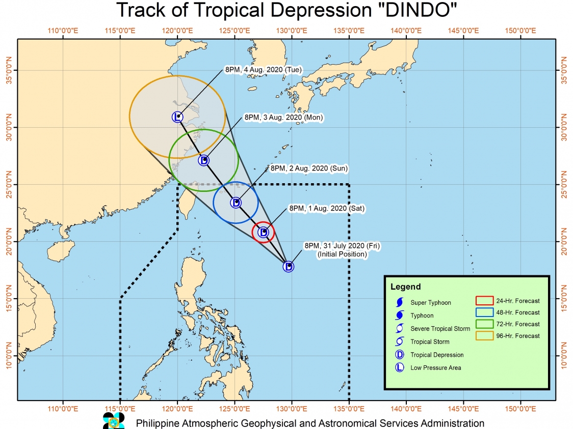
In a bulletin issued past 11 pm on Friday, the Philippine Atmospheric, Geophysical, and Astronomical Services Administration said Tropical Depression Dindo is located 825 kilometers east of Tuguegarao City, Cagayan.
Dindo is moving west northwest at a slow 10 kilometers per hour (km/h).
It has maximum winds of 45 km/h and gustiness of up to 55 km/h.
“This tropical cyclone has no direct impact on the country at the moment. No tropical cyclone wind signal is in effect over the country,” PAGASA said.
Dindo’s current forecast track also shows it is likely to spare the Philippines from landfall.
Dindo is the Philippines’ 4th tropical cyclone for 2020, after Typhoon Ambo (Vongfong) in May, Tropical Storm Butchoy (Nuri) in June, and Tropical Depression Carina also in July. (READ: FAST FACTS: Tropical cyclones, rainfall advisories)
An average of 20 tropical cyclones form within or enter PAR each year. Only around half of these make landfall. (READ: LIST: PAGASA’s names for tropical cyclones in 2020)
In PAGASA’s climate outlook, it gave the following estimates for the number of tropical cyclones inside PAR:
- July – 2 to 4
- August – 2 or 3
- September – 2 or 3
- October – 2 or 3
- November – 1 or 2
- December – 1 or 2
While Dindo is not affecting the country, the southwest monsoon or hanging habagat is being enhanced by another tropical depression, which is located outside PAR.
This tropical depression is 920 kilometers west of Northern Luzon, moving west northwest toward the China-Vietnam area at 10 km/h. It has maximum winds of 55 km/h and gustiness of up to 70 km/h.
PAGASA said the southwest monsoon will bring occasional monsoon rain to the following areas:
- Luzon
- Western Visayas
- Zamboanga Peninsula
The rain will generally be light to moderate, but may be heavy at times. PAGASA advised the public and local authorities to watch out for possible floods and landslides.
A gale warning was also issued for the northern and western seaboards of Luzon. The state weather bureau warned that travel is risky in these areas due to rough to very rough seas, with waves reaching 2.5 to 4.5 meters high.
In the other seaboards of the Philippines, moderate to rough seas with waves 1.2 to 2.5 meters high are expected. Small vessels should take precautionary measures, said PAGASA.
PAGASA declared the start of the rainy season on June 12. – Rappler.com
Add a comment
How does this make you feel?
There are no comments yet. Add your comment to start the conversation.