SUMMARY
This is AI generated summarization, which may have errors. For context, always refer to the full article.
Tropical Depression Dindo is not expected to make landfall in any part of the Philippines, according to the state weather bureau.
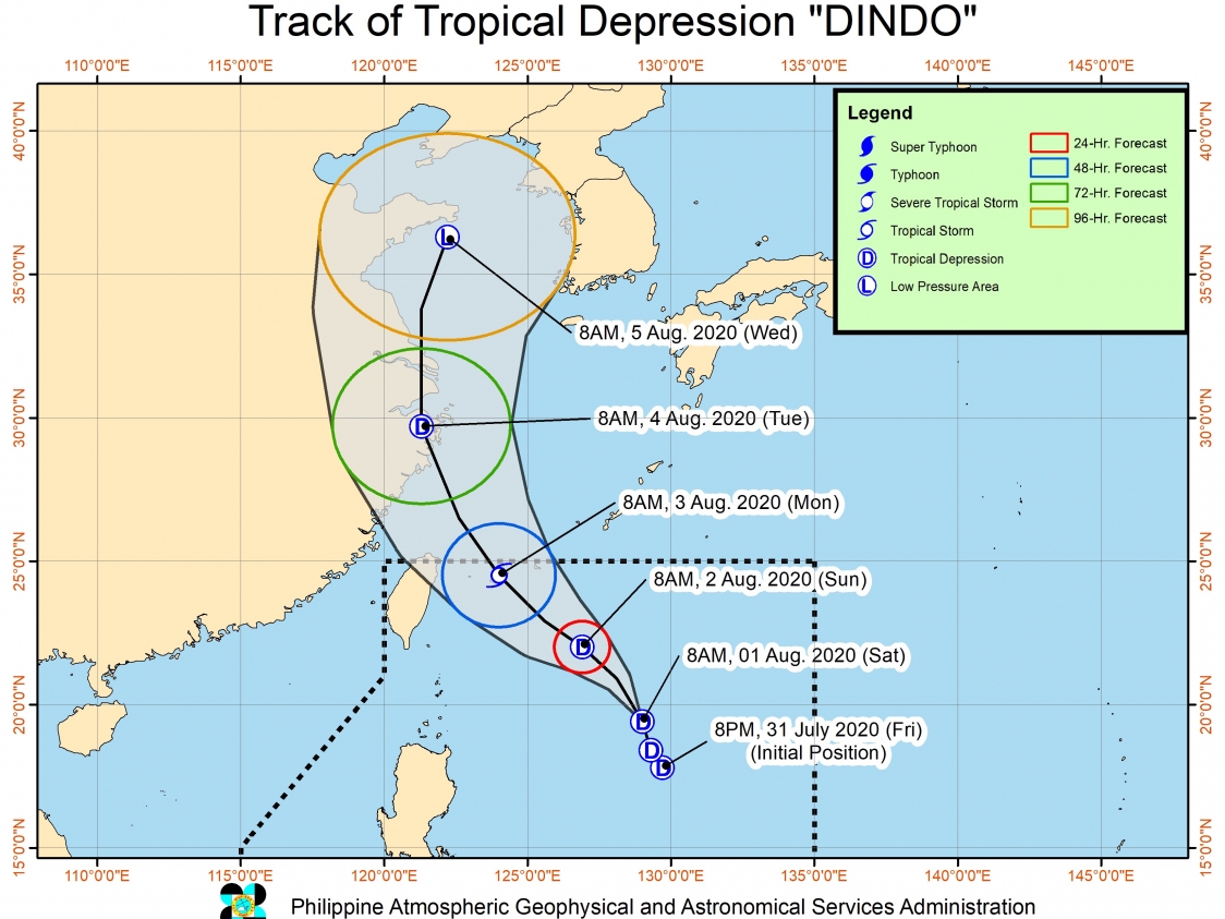
The Philippine Atmospheric, Geophysical, and Astronomical Services Administration (PAGASA) said in an online briefing at noon on Saturday, August 1, that Dindo will likely remain far from the country’s landmass.
As of Saturday morning, Dindo was located 715 kilometers east of Basco, Batanes. It is moving north northwest at 15 kilometers per hour (km/h).
Due to its distance, the tropical depression “has no direct impact on the country at the moment,” said PAGASA.
There are no areas under tropical cyclone wind signals, too.
Dindo, however, slightly strengthened on Saturday morning. It now has maximum winds of 55 km/h from the previous 45 km/h and gustiness of up to 70 km/h from the previous 55 km/h.
Dindo could intensify further into a tropical storm while inside the Philippine Area of Responsibility (PAR).
It is likely to exit PAR on Monday, August 3, either in the morning or afternoon.
PAGASA also continues to monitor a tropical depression outside PAR, at 1,070 kilometers west of Northern Luzon. It is already nearing Hainan, China.
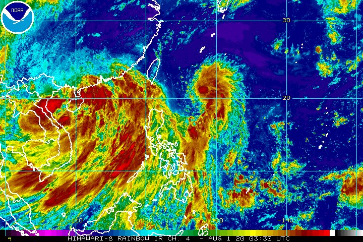
PAGASA Weather Specialist Samuel Duran said both Dindo and the tropical depression outside PAR are pulling the southwest monsoon or hanging habagat, which is bringing more rain on Saturday.
The following areas are experiencing occasional monsoon rain, mostly light to moderate but at times heavy:
- Luzon
- Western Visayas
- Central Visayas
- Zamboanga Peninsula
- Northern Mindanao
- Bangsamoro Autonomous Region in Muslim Mindanao
PAGASA warned that flash floods and landslides are possible.
A gale warning remains in effect for the northern and western seaboards of Luzon. Travel is risky in these areas due to rough to very rough seas, with waves reaching 2.5 to 4.5 meters high.
In the other seaboards of the Philippines, moderate to rough seas with waves 1.2 to 2.5 meters high are expected. Small vessels should take precautionary measures, said PAGASA.
Dindo is the Philippines’ 4th tropical cyclone for 2020, after Typhoon Ambo (Vongfong) in May, Tropical Storm Butchoy (Nuri) in June, and Tropical Depression Carina also in July. (READ: FAST FACTS: Tropical cyclones, rainfall advisories)
An average of 20 tropical cyclones form within or enter PAR each year. Only around half of these make landfall. (READ: LIST: PAGASA’s names for tropical cyclones in 2020)
In PAGASA’s climate outlook, it gave the following estimates for the number of tropical cyclones inside PAR for the rest of 2020:
- August – 2 or 3
- September – 2 or 3
- October – 2 or 3
- November – 1 or 2
- December – 1 or 2
PAGASA declared the start of the rainy season on June 12. – Rappler.com
Add a comment
How does this make you feel?


There are no comments yet. Add your comment to start the conversation.