SUMMARY
This is AI generated summarization, which may have errors. For context, always refer to the full article.
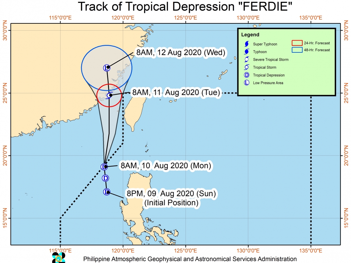
Tropical Depression Ferdie left through the northwestern boundary of the Philippine Area of Responsibility (PAR) at 9 am on Monday, August 10, just 13 hours after it developed.
The Philippine Atmospheric, Geophysical, and Astronomical Services Administration (PAGASA) said in a bulletin at 11 am on Monday that Ferdie is already 265 kilometers west northwest of Laoag City, Ilocos Norte, or 315 kilometers west of Calayan, Cagayan.
The tropical depression is moving north over the West Philippine Sea at 15 kilometers per hour (km/h). PAGASA said it could make landfall in Fujian, China, on Tuesday morning, August 11.
Ferdie maintained its strength as it left PAR, with maximum winds of 55 km/h and gustiness of up to 70 km/h. But PAGASA said it is likely to reach tropical storm category on Monday, then weaken into a low pressure area by Tuesday evening after hitting China.
Ferdie, the Philippines’ 6th tropical cyclone for 2020, did not make landfall in the country. But Signal No. 1 was earlier raised in parts of Luzon due to the tropical depression’s proximity to land.
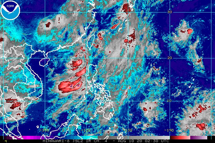
Though Ferdie is already out of PAR, it will continue to enhance the southwest monsoon or hanging habagat, which is causing moderate to heavy rain and strong winds on Monday. Flash floods and landslides are possible.
Monsoon rain
- Ilocos Region
- Abra
- Benguet
- Zambales
- Bataan
Occasional rain
- Batanes
- Cagayan
- Metro Manila
- Calabarzon
- Mimaropa
- rest of Cordillera Administrative Region
- rest of Central Luzon
Strong breeze-force to near gale-force winds
- Ilocos Region
- Cordillera Administrative Region
- Cagayan Valley
- Central Luzon
- Metro Manila
- Calabarzon
- Mimaropa
A gale warning is also in effect for the seaboards of the following areas, due to rough to very rough seas, with waves reaching 2.5 to 4.5 meters high:
- Ilocos Norte
- Ilocos Sur
- La Union
- Pangasinan
- Zambales
- Bataan
- western coast of Batangas
- western coast of Occidental Mindoro including Lubang Island
- Calamian Islands
- Batanes
- Cagayan including Babuyan Islands
- Isabela
PAGASA added that seaboards in the Visayas and in the rest of Luzon have moderate to rough waters, with waves reaching 1.2 to 2.8 meters high. Small vessels must take precautionary measures.
PAGASA also continues to monitor another tropical depression outside PAR.
This tropical depression is now 2,515 kilometers east northeast of extreme Northern Luzon, moving northwest at a slow 10 km/h.
It has maximum winds of 55 km/h and gustiness of up to 70 km/h.
At the moment, PAGASA said the tropical depression remains unlikely to enter PAR. (READ: FAST FACTS: Tropical cyclones, rainfall advisories)
An average of 20 tropical cyclones form within or enter PAR each year. Only around half of these make landfall. (READ: LIST: PAGASA’s names for tropical cyclones in 2020)
In PAGASA’s climate outlook, it gave the following estimates for the number of tropical cyclones inside PAR for the rest of 2020:
- August – 2 or 3
- September – 2 or 3
- October – 2 or 3
- November – 1 or 2
- December – 1 or 2
PAGASA declared the start of the rainy season on June 12. – Rappler.com
Add a comment
How does this make you feel?
There are no comments yet. Add your comment to start the conversation.