SUMMARY
This is AI generated summarization, which may have errors. For context, always refer to the full article.
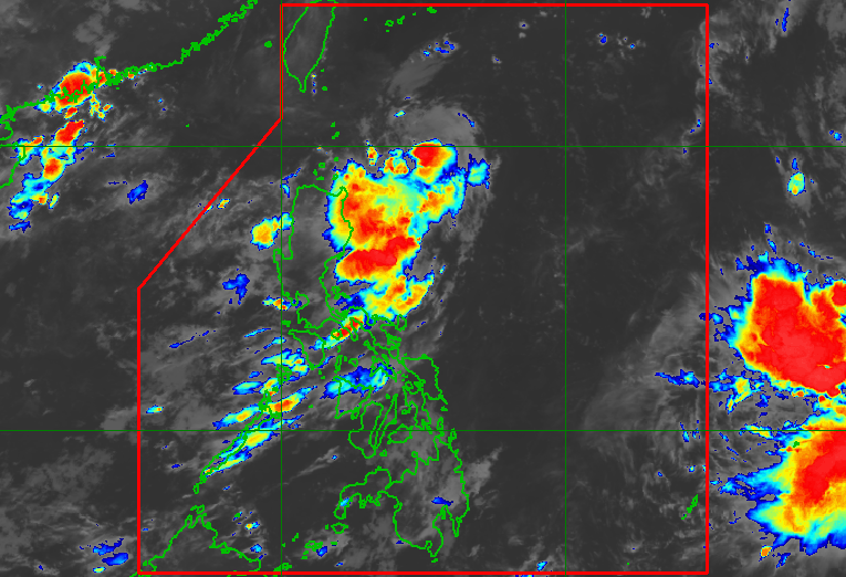
MANILA, Philippines – The low pressure area (LPA) off Cagayan developed into a tropical depression at 2 am on Thursday, August 24, and was given the local name Goring.
It is the Philippines’ seventh tropical cyclone for 2023 and the first for August.
In its first bulletin on Goring issued at 5 am on Thursday, the Philippine Atmospheric, Geophysical, and Astronomical Services Administration (PAGASA) said the tropical depression was located 400 kilometers east northeast of Aparri, Cagayan, or 405 kilometers east of Calayan, Cagayan, slowly moving west northwest.
Goring is expected to head generally northwest in the next 12 hours, then turn south off the eastern coast of the Cagayan Valley region.
For the next five days, it is seen to follow a “generally looping track,” and could return to a “more northward movement” by late Monday, August 28, or Tuesday, August 29.

As of early Thursday, Goring had maximum sustained winds of 55 kilometers per hour and gustiness of up to 70 km/h.
It is expected to strengthen into a tropical storm on Thursday night or early Friday morning, August 25; a severe tropical storm on Saturday, August 26; and a typhoon by Sunday, August 27, “during the southward segment of its looping track.”
ALSO ON RAPPLER
- Susan ‘Toots’ Ople, the tireless OFW champion
- From mayor of Makati to…Taguig? Abby Binay thinking about it
- Rappler Talk Sports: Erik Spoelstra on Filipino roots, USA Basketball, and Dwyane Wade
- In fair-ness! 8 regularly scheduled food fairs, weekend markets in and out of Metro Manila
PAGASA said Goring is “less likely to bring heavy rainfall” in the next three days. But “considering the proximity of the tropical cyclone to land,” parts of Cagayan Valley could have heavy rain if Goring’s track shifts westward.
In the meantime, the trough or extension of the tropical depression is bringing scattered rain showers and thunderstorms to Cagayan Valley and the Cordillera Administrative Region on Thursday.
The weather bureau also said tropical cyclone wind signals could be raised for parts of Northern Luzon starting Thursday night or Friday, so affected areas can prepare for severe winds.
“However, the hoisting may happen earlier should there be changes in the forecast scenario,” added PAGASA.
Goring could also enhance the southwest monsoon or habagat beginning Sunday or Monday.
The enhanced southwest monsoon may then trigger occasional rain in the western parts of Central Luzon and Southern Luzon, and gusty conditions in most of Southern Luzon and the Visayas, as well as parts of Caraga, starting Sunday or Monday.
“The gusty conditions are more likely in coastal and upland or mountainous areas exposed to winds,” PAGASA said.
On Thursday, the southwest monsoon – not yet enhanced by Goring – will continue to affect Southern Luzon, the Visayas, and Mindanao. Isolated to scattered rain showers and thunderstorms are likely.
For coastal waters, Goring is expected to cause moderate to rough seas in extreme Northern Luzon and the northeastern part of mainland Cagayan on Friday. Waves will be 1.5 to 2.5 meters high, which would be risky for motor bancas and similar vessels.
PAGASA earlier said it expects two or three tropical cyclones to develop within or enter the Philippine Area of Responsibility in August. – Rappler.com
Add a comment
How does this make you feel?


There are no comments yet. Add your comment to start the conversation.